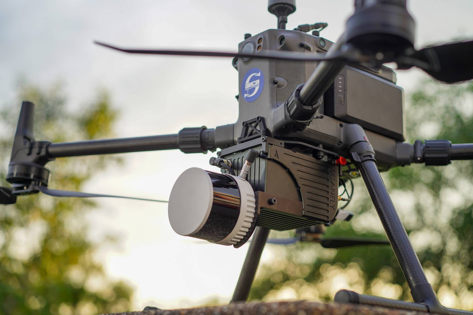
GEOSPATIAL INTELLIGENCE TECHNOLOGY SERVICES
Transform your operations with our comprehensive geospatial services
Use the latest technology in drones, sensors, and software to obtain accurate geospatial information.
2
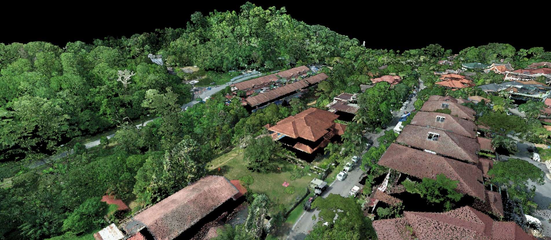
Geospatial Data Processing
Turn huge datasets and images into an easy to use map canvas

3
Geospatial Data Analysis
Transform geospatial data into meaningful results to improve efficiency and bottom line.
4
Technology Transfer
Increase team competency in managing your drones, GIS assets and future technology.
Transform your business with accurate and actionable insights
Schedule A Demo