Ground Capture & Mobile Mapping
Gather large amounts of geospatial data from a moving platform
How it was done in the past
Manual Labour
Human Error
OUTDATED DATA FROM SLOW DATA COLLECTION
Gathering Mobile Data
The 360º camera and LiDAR enables high quality data and images, useful for effective analysis.
Deployable almost anywhere, other than fitted on drones, the sensors can also be mounted on ground vehicles or worn using a special backpack.
AECA's Mobile Mapping Solutions

High Resolution
Modular
FAST and efficient
Streamlined Workflow
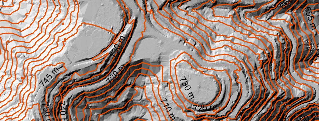
Sample shots
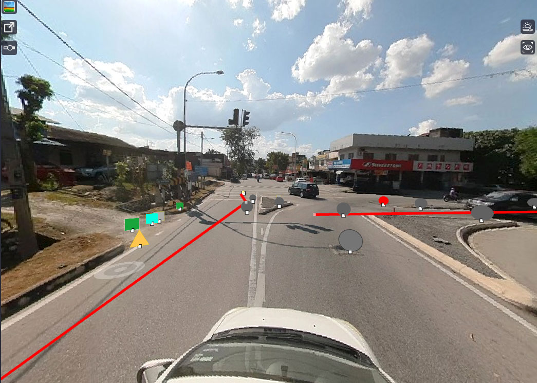
Sensors Mounted on a Car
MAXIMISE YOUR PROJECT RESULTS
01. planning
We will then customise a solution based on your needs.
02. MOBILE MAPPING
Or if you prefer to do it yourself, we can train you how to do it with a package that is the perfect solution to achieve faster ROI (Return On Investment).
03. DATA PROCESSING AND ANALYSIS
We can also recommend a streamlined workflow that would help you manage your data better.


FAQ
A: Ground (Mobile) Mapping is the process of using specialized equipment, such as GPS and LiDAR sensors, mounted on a mobile platform, such as a car, to capture detailed spatial data of a specific area or region.
Ground (Mobile) Mapping can be used for a variety of applications, including road and highway planning, urban planning, natural resource management, topographic mapping, and disaster management.
Ground (Mobile) Mapping typically uses a combination of GPS, LiDAR, and other sensors to capture accurate and detailed spatial data. These sensors are often mounted on a specialized mobile platform, such as a car or truck.
The accuracy of the maps generated using Ground (Mobile) Mapping can vary depending on the quality and capabilities of the equipment used, as well as the processing software. However, in general, the maps can be highly accurate, with resolution down to a few centimeters in some cases.
Yes, there are typically legal requirements that must be followed when using Ground (Mobile) Mapping services. These can include obtaining permits and licenses, following specific regulations regarding data collection and privacy, and adhering to specific safety guidelines.
The time required to complete a Ground (Mobile) Mapping project can vary widely depending on the size and complexity of the area being mapped, as well as the quality and capabilities of the equipment and processing software. However, projects can often be completed in a matter of weeks or months, rather than years.
The cost of Ground (Mobile) Mapping services can vary depending on a number of factors, including the size and complexity of the project, the quality of the equipment and processing software used, and the experience and expertise of the service provider. However, costs can range from a few thousand to several hundred thousand dollars for a single mapping project, depending on the scale and requirements of the project.