Applications for GEOSPATIAL INTELLIGENCE TECHNOLOGY
Discover Proven Technology – Useful Across Various Industries
Geospatial intelligence technology is a powerful tool that enables businesses and organizations to make informed decisions based on location-based data and analysis. Learn how this technology could benefit your business.

1
Land Surveying & 3D Mapping
Geospatial tech is revolutionising land surveying.
With precise data and real-time maps, it streamlines the process for greater accuracy and efficiency. Upgrade your surveying practices now.
With precise data and real-time maps, it streamlines the process for greater accuracy and efficiency. Upgrade your surveying practices now.
2
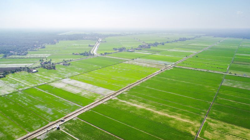
Precision Agriculture
Precision agriculture is the future of farming, utilising advanced technologies such as sensors, drones, and machine learning to maximise crop yields while minimising waste. By leveraging these tools, farmers can optimise their use of resources, improve their decision-making, and ultimately increase their profits.

3
Construction & Infrastructure
Geospatial technology is transforming the construction and infrastructure industries, providing developers and planners with advanced tools to reduce wastage and improve project monitoring.

4
Environmental Monitoring
Geospatial technology is playing an increasingly important role in environmental monitoring, enabling us to gather and analyse data about the earth's natural systems with greater accuracy and efficiency than ever before. By leveraging advanced tools such as remote sensing, GIS, and machine learning, environmental scientists and policymakers can monitor changes in the environment in real-time and make informed decisions about how to protect our planet.

5
Security & Surveillance
Geospatial technology is transforming the field of security and surveillance, providing law enforcement and security professionals with advanced tools to monitor and respond to threats more effectively.
Transform your business with accurate and actionable insights
Schedule A Demo