Trinity F90+
An unbeatable mapping tool for professionals
The Trinity F90+ has the combined advantage of a copter’s easy handling and the aerodynamics and endurance of a fixed-wing UAV.
Introducing the Trinity F90+
Designed for easy operation, is lightweight and takes off vertically from anywhere, no runway needed.
Your journey to infinity, begins with the Trinity F90+.
Your journey to infinity, begins with the Trinity F90+.
1
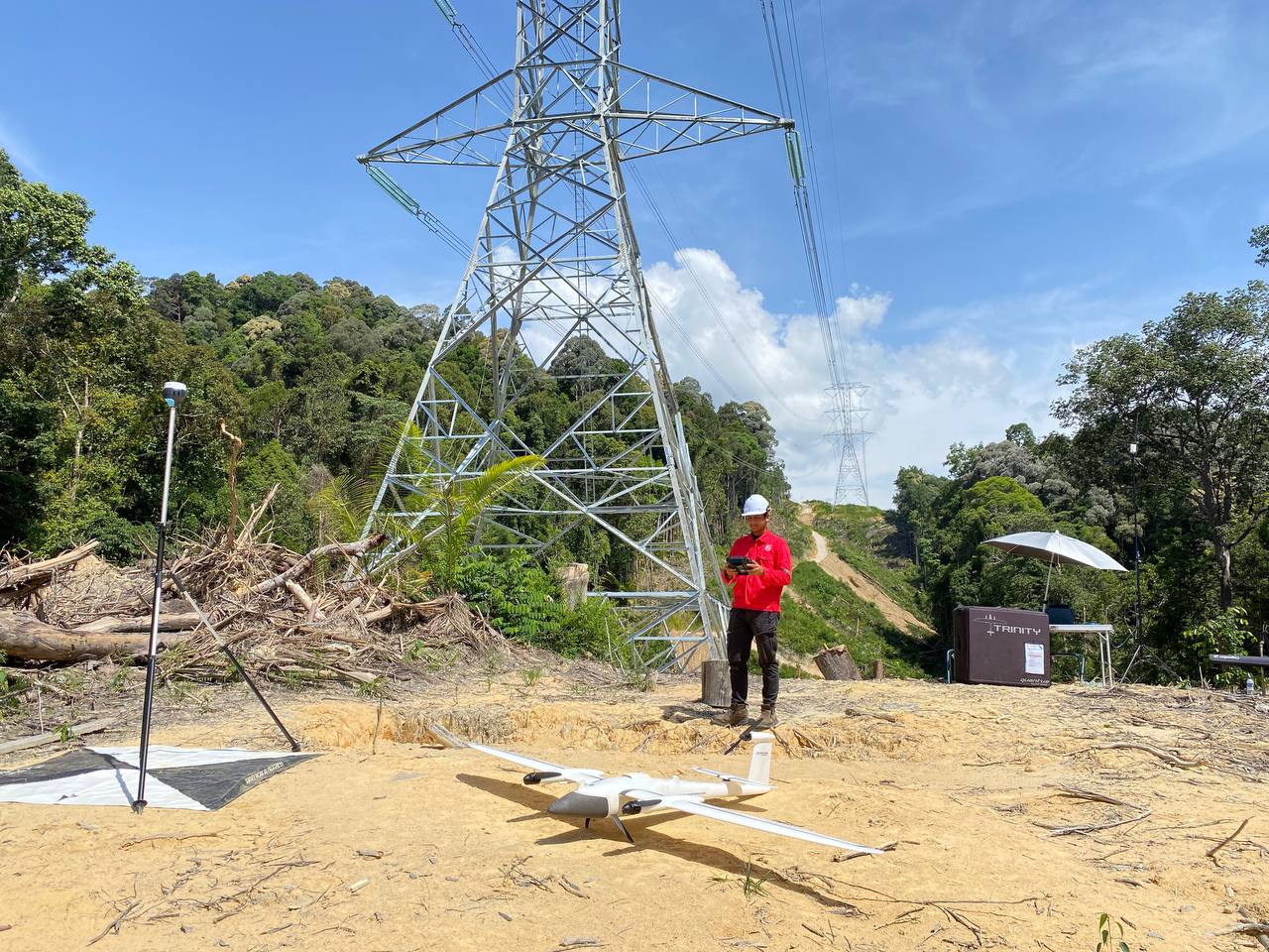
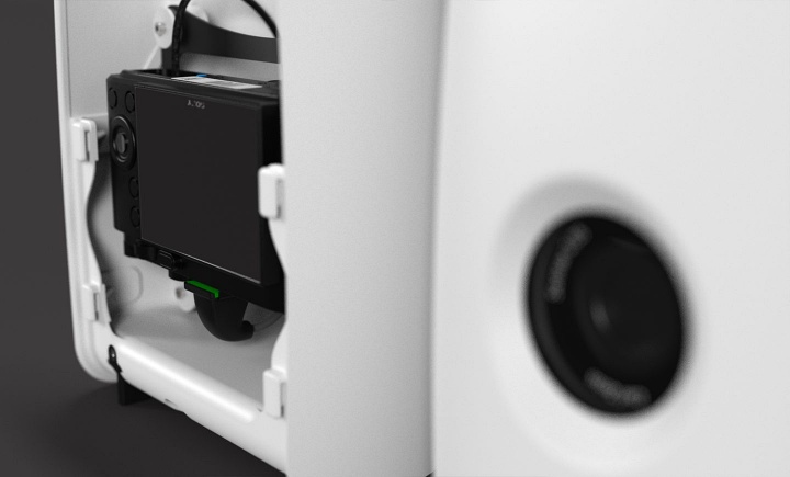
TAKe Off Anywhere with eVTOL
Sick of belly landings costing you money?
With Vertical Take Off and Landing (“VTOL”), take off from any flat surface, no runway needed. Can also be hand launched. Safer landing for camera and sensor payloads unlike belly landings of conventional fixed-wings.
With Vertical Take Off and Landing (“VTOL”), take off from any flat surface, no runway needed. Can also be hand launched. Safer landing for camera and sensor payloads unlike belly landings of conventional fixed-wings.
2
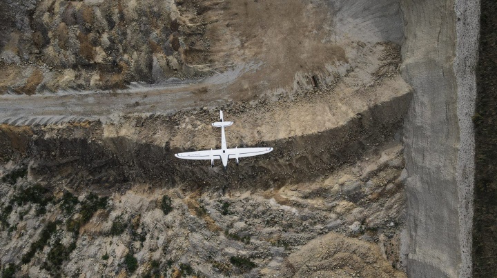
Wider coverage
Want longer flight times to extend your reach?
Its aerodynamic design and superior German engineering allow the Trinity F90+ to use less energy to achieve unmatched flight time of up to 90 minutes. Each flight can cover large areas (700 ha / 1,730 acres) or long corridors (100km / 62 miles), making it the preferred surveying tool for a wide variety of applications.
Its aerodynamic design and superior German engineering allow the Trinity F90+ to use less energy to achieve unmatched flight time of up to 90 minutes. Each flight can cover large areas (700 ha / 1,730 acres) or long corridors (100km / 62 miles), making it the preferred surveying tool for a wide variety of applications.
100
km
Linear Coverage
700
ha
Area Coverage
1.29
cm
GSD @100 m AGL
90
min
Flight Time
Technical Data
Max. Take-Off Weight
5.5kg
Max. Flight Time
90 minutes subject to export regulation
Max Area Coverage
100km/700 ha
Max. Flight Altitude (MSL)
4,500m (14,763.8 ft)
Command and Control Range
5 – 7.5 km (3.1 – 4.7 mi)
Optimal Cruise Speed
17 m/s (33 kn)
Wind Tolerance Hover
Up to 9 m/s (17.5 kn)
Wind Tolerance (cruise)
12 m/s (23.3 kn)
Operating Temperature Range
-12° C to 50° C (10.4° F to 122° F)
Wingspan
2.394 m (7.85 ft)
Transport Case Dimensions
100.2 x 83 x 27 cm (39.4 x 32.7 x 10.6 inch)
Transport Case Weight
22.3 kg (49.1 lbs), incl. three batteries
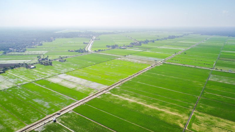
Applications for the Trinity F90+

The Trinity F90+ in real world applications.


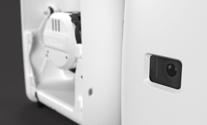
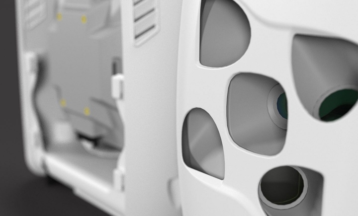
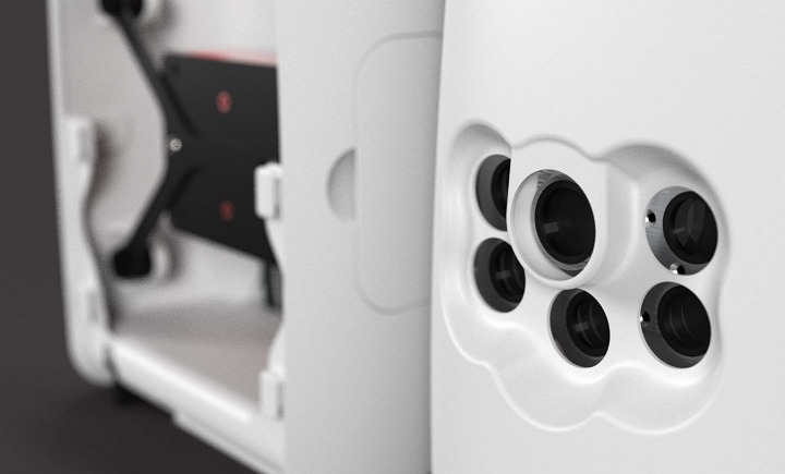
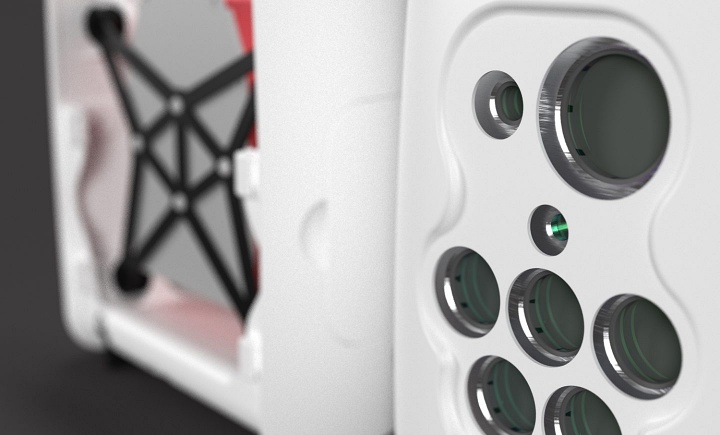
Cameras
Camera payloads for the Trinity F90+
Related Industrial Drone

Transform your business with accurate and actionable insights
Schedule A Demo