Geospatial Data Processing
Turn huge datasets and images into an easy to use map canvas
Geospatial Intelligence Technology is a powerful tool which enables businesses and organizations to make informed decisions based on location-based data and analysis. Learn how this technology could benefit your business.

1
Data Processing
Obtain accurate positioning data without the need for real-time communication with a reference station or base station, which can be particularly beneficial in remote or inaccessible areas.
2
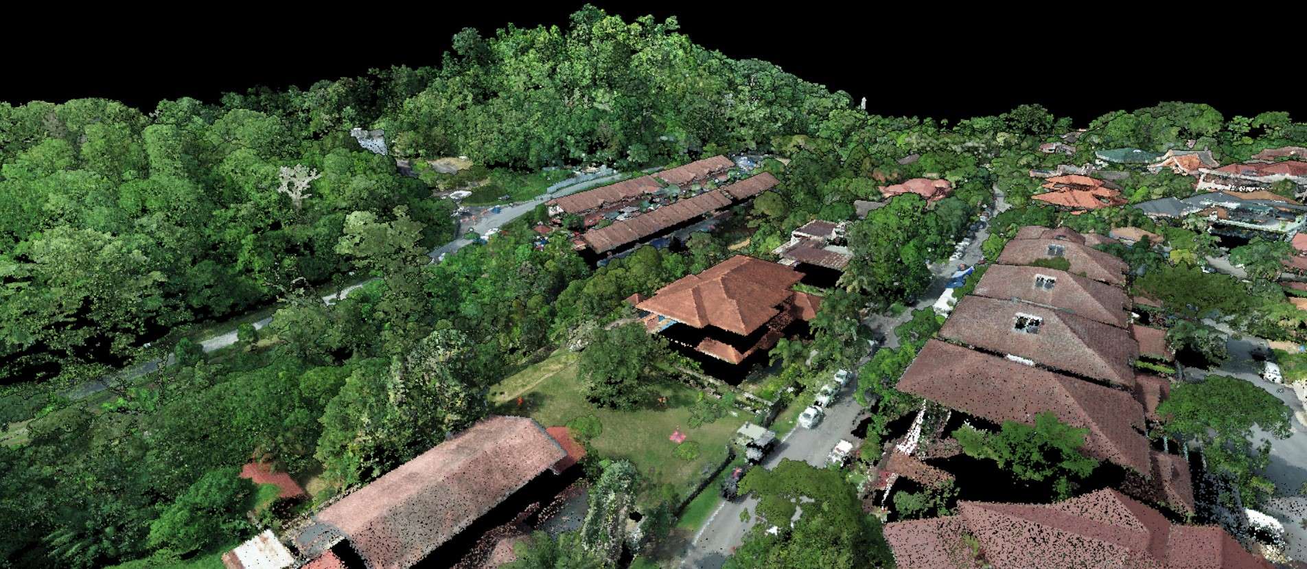
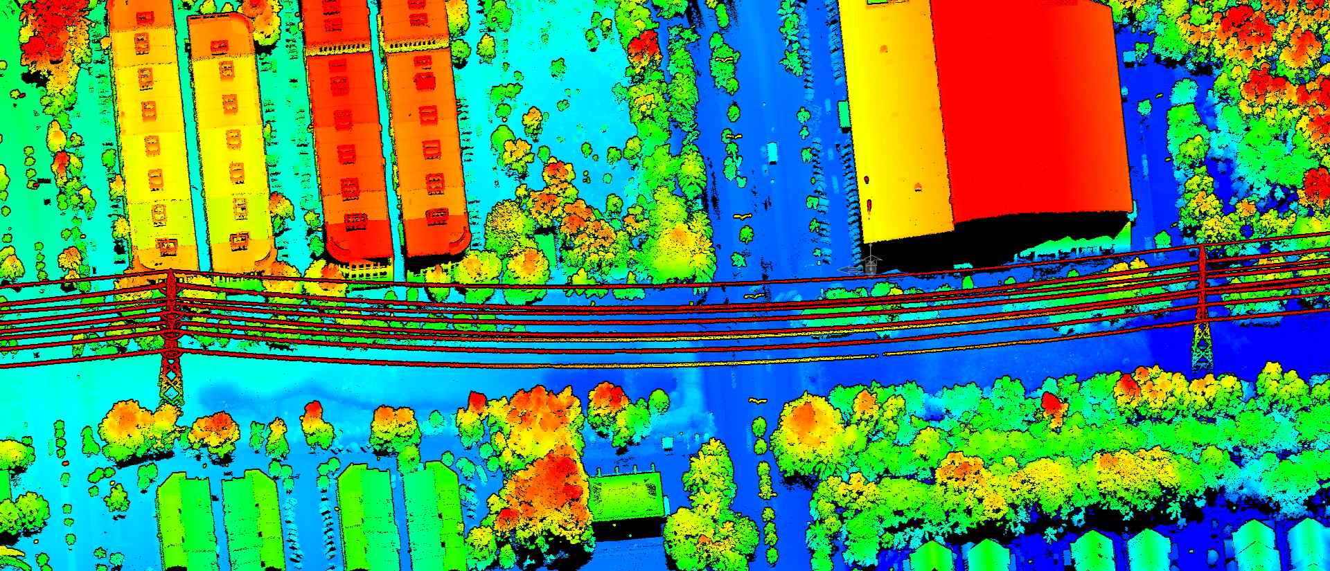
Visualisation
AECA can help you visualise your data so you can make the best decisions for your business.

3
Storage Solutions
Geospatial data storage makes it easier to access and retrieve geospatial data from a centralised location, enabling faster and more efficient data sharing and collaboration among users.
Transform your business with accurate and actionable insights
Schedule A Demo