Geospatial Data Capture
Accurately acquire data via aerial and ground capture & 3D mapping.
Geospatial Intelligence Technology is a powerful tool which enables businesses and organizations to make informed decisions based on location-based data and analysis. Learn how this technology could benefit your business.
1
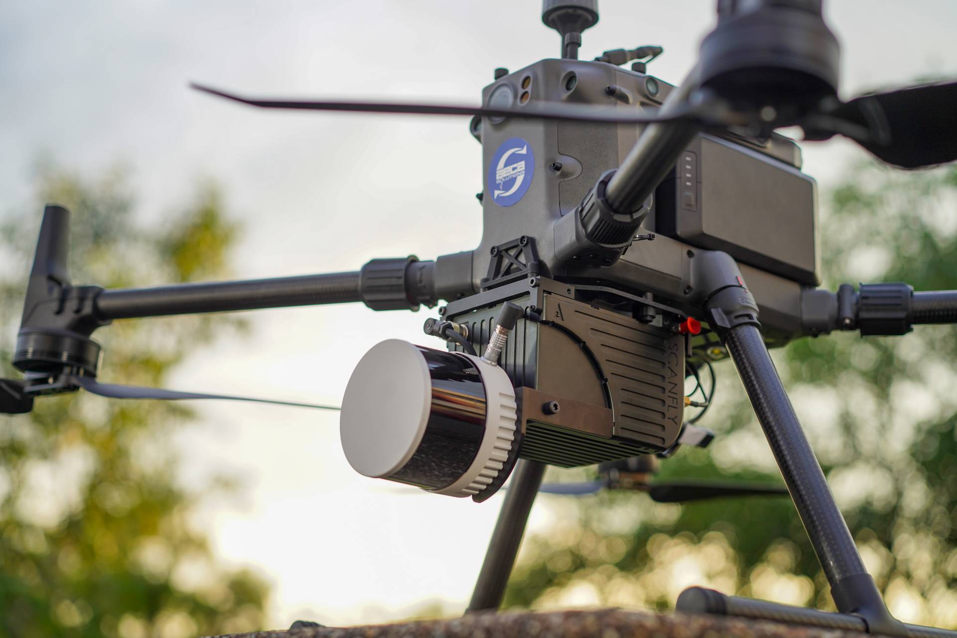
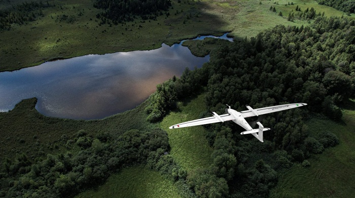
Aerial Capture & Drone Mapping
Achieve unparalleled accuracy with our state-of-the-art imaging and measurement solutions for Land Surveying & 3D Mapping, Precision Agriculture, Construction & Infrastructure, Environmental Monitoring and Security & Surveillance.
2
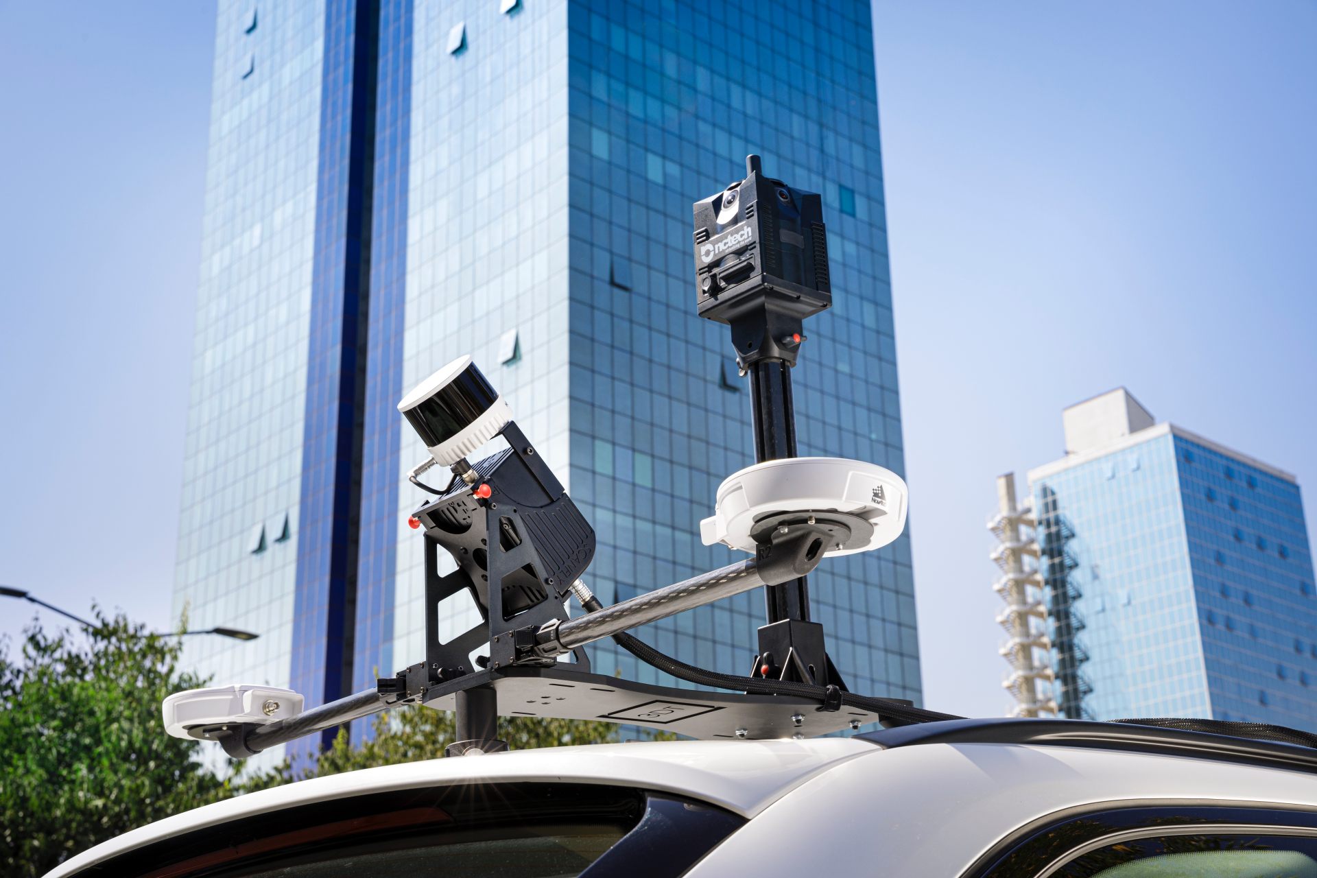
Ground Capture & Mobile Mapping
Create highly accurate 3D maps, models and point clouds which can be used for a wide range of applications including urban planning, infrastructure asset management, disaster response and more.
Transform your business with accurate and actionable insights
Schedule A Demo