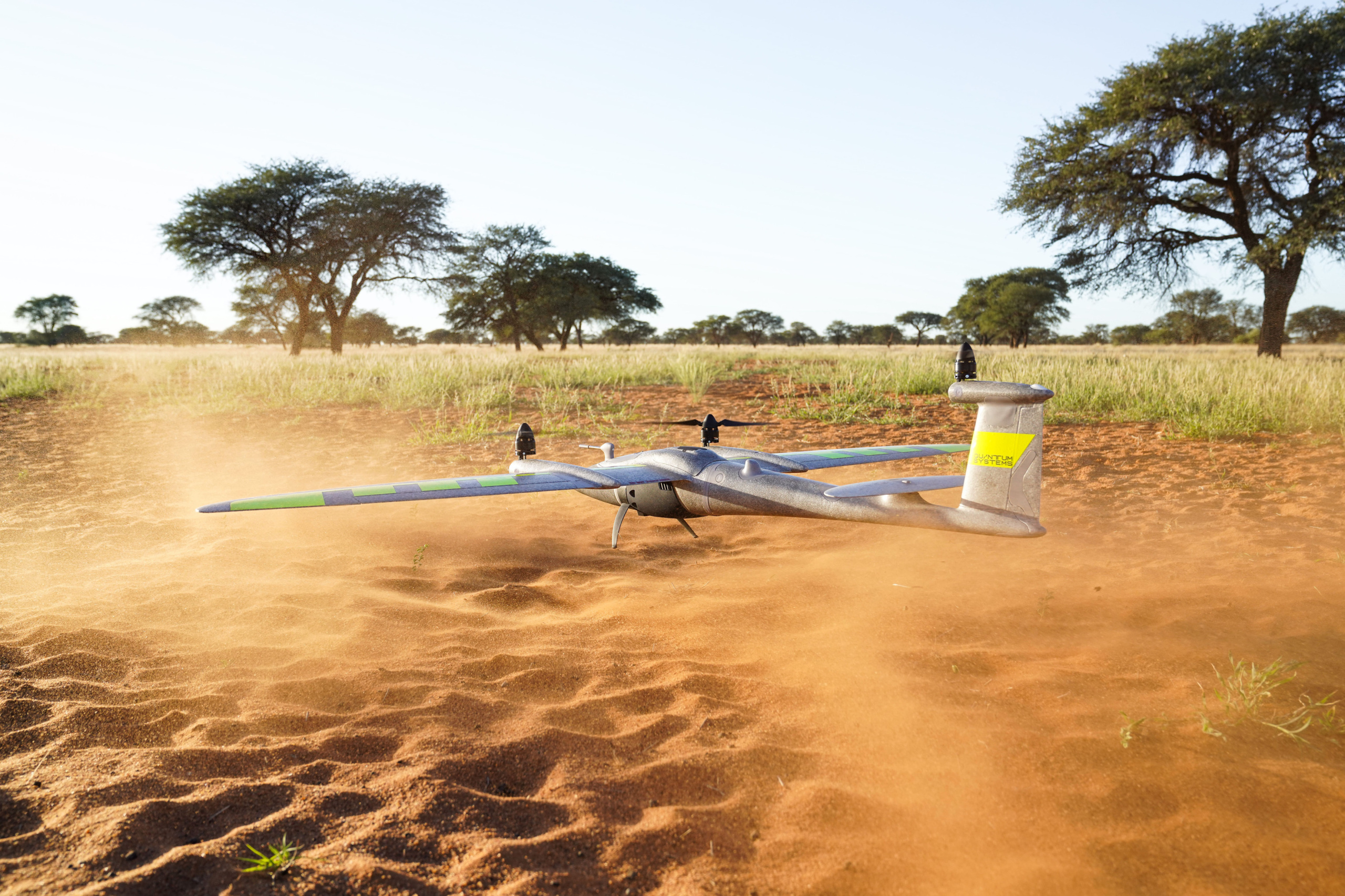
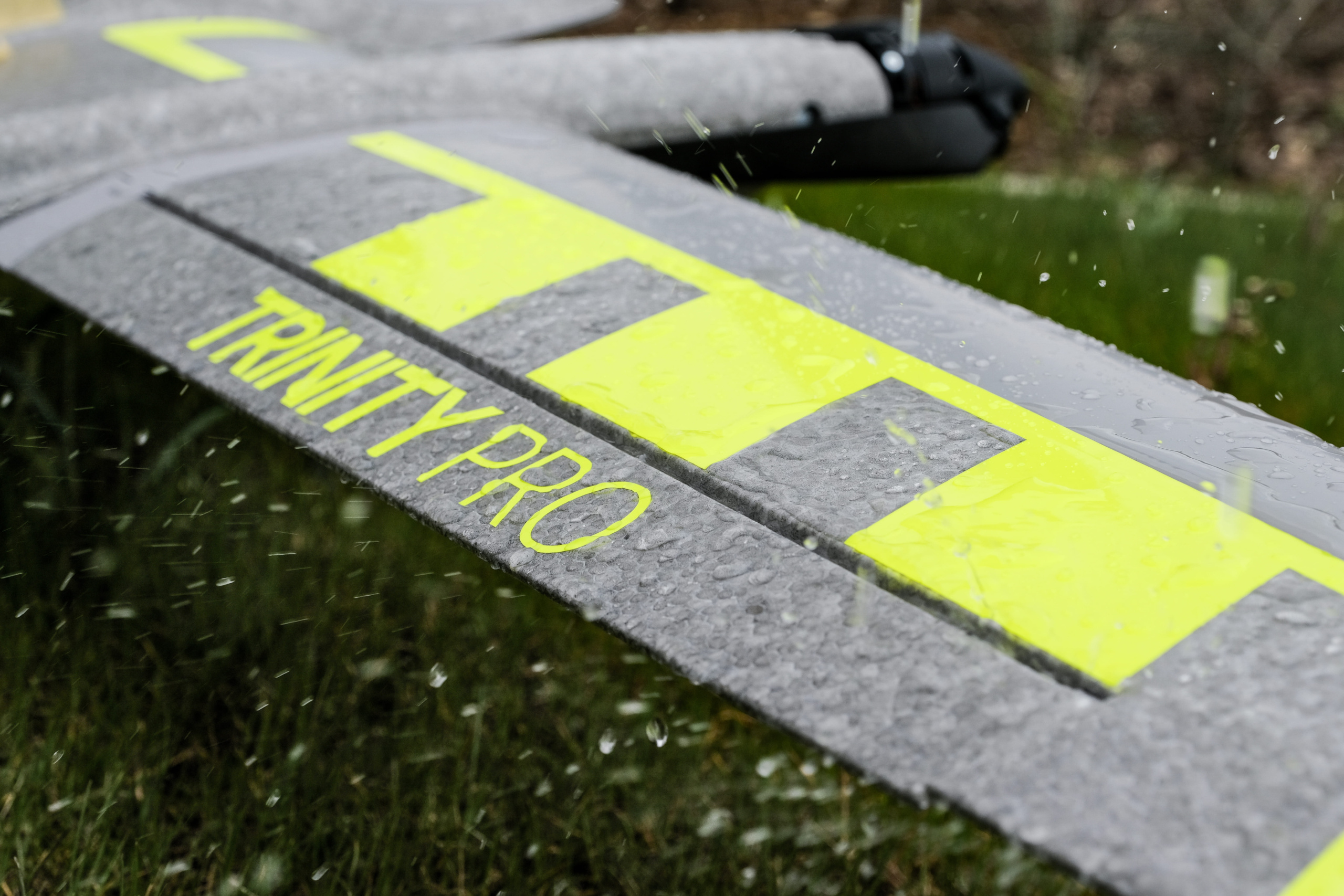
Trinity Pro
Next-Generation eVTOL Fixed-Wing Mapping Drone
Designed to Evolve and Ready for Tomorrow: A future-proof, reliable and easy to use mapping solution
Introducing the Trinity Pro
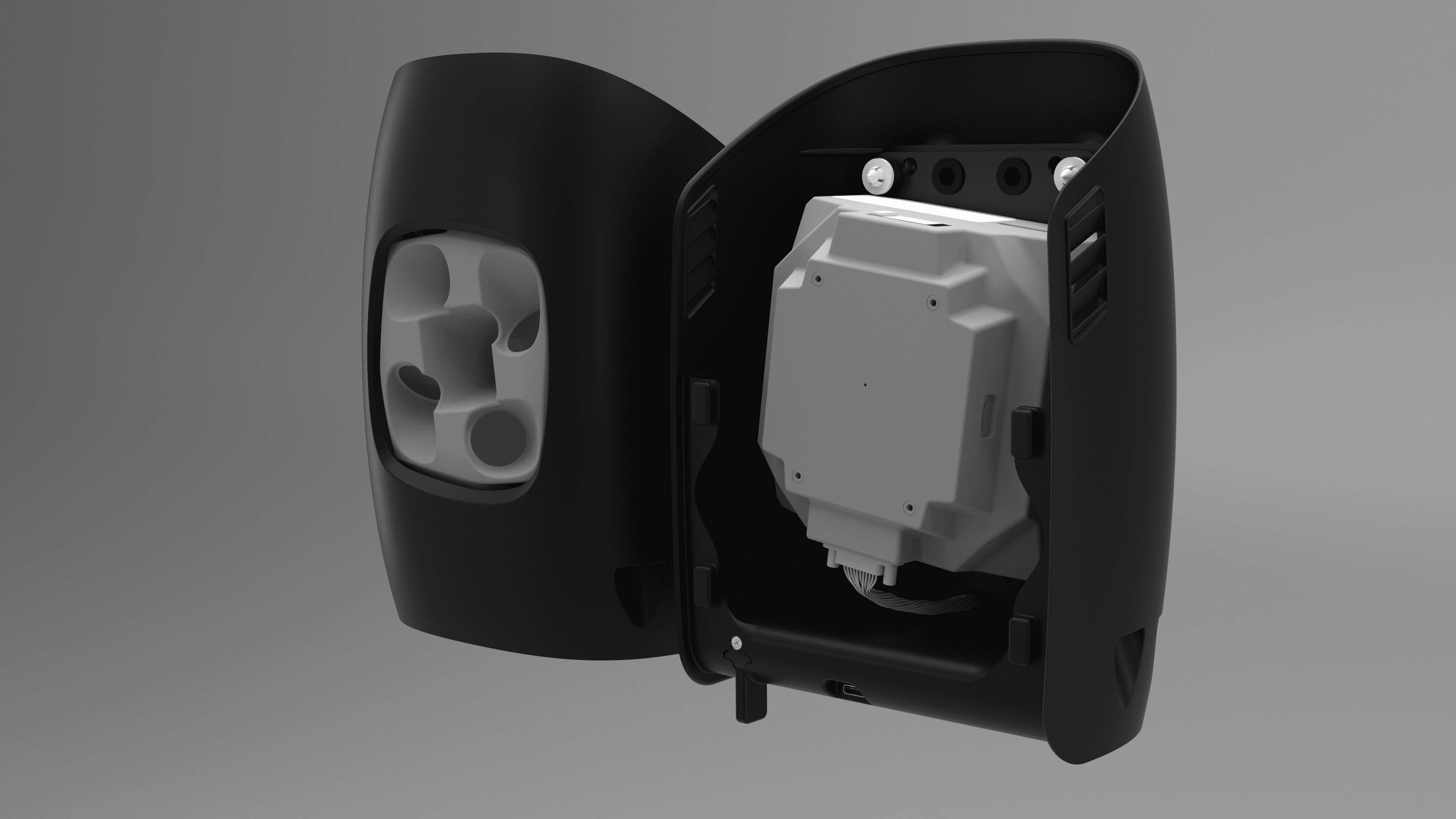
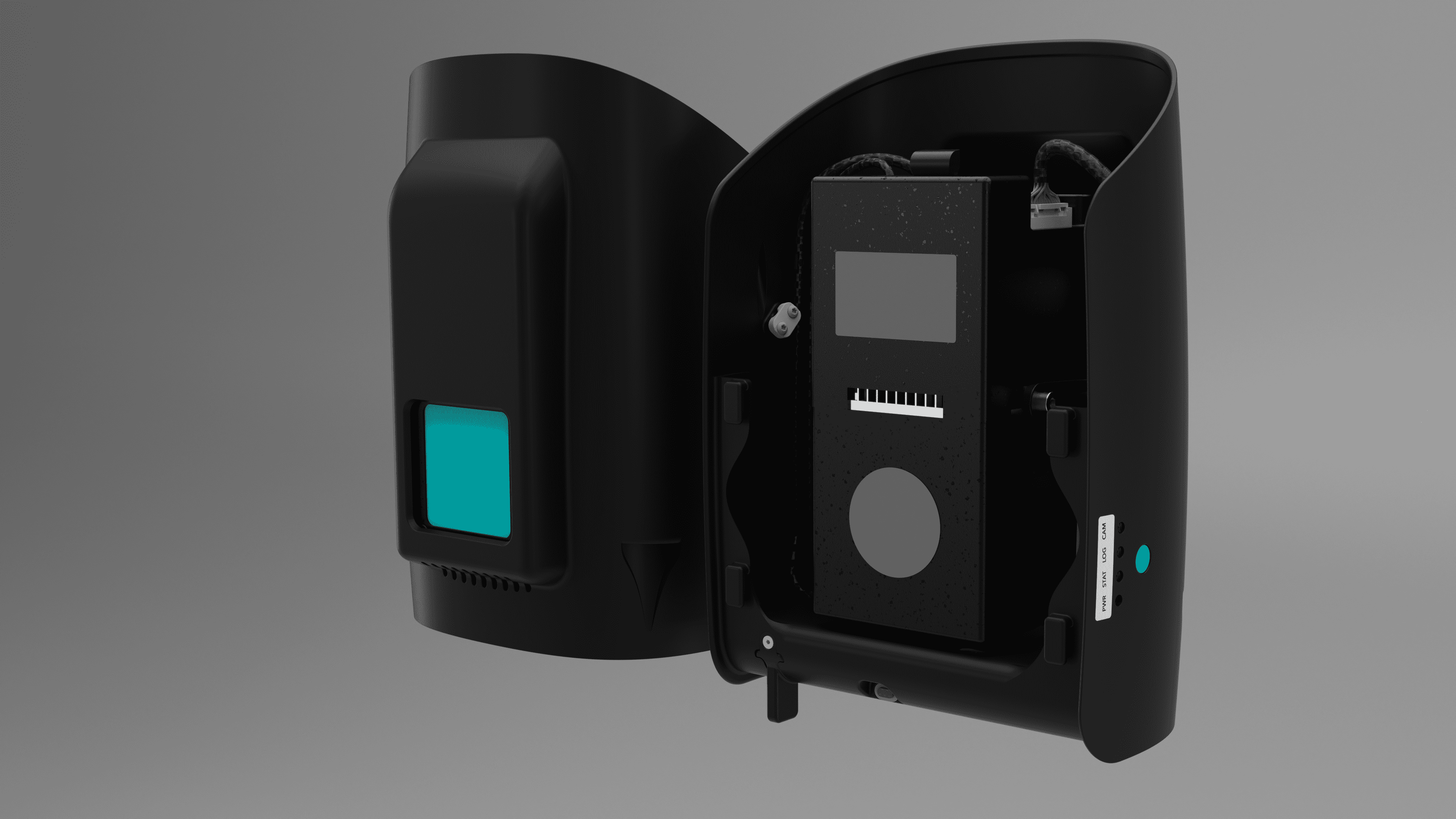
Trinity Pro is designed to adapt to changing requirements, evolve in capabilities, and accelerate decision making through aerial data. It incorporates the latest technology: The new Quantum-Skynode autopilot and the Linux misson computer bring computing power and increased internal storage as well as enhanced connectivity onboard the aircraft. This allows downstream integration of next generation cameras, but also of logging, simulation and AI capabilities.
The AI capabilities give new insights and help professionals in various industries to make more informed decisions and drive their business forward. Designed for easy operation, is lightweight and takes off vertically from anywhere, no runway needed.
Your journey to infinity, begins with the Trinity Pro.
1
90 minutes flight time
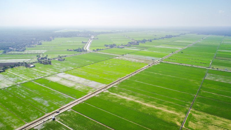
Due to its refined aerodynamics, the Trinity Pro uses less energy and achieved unmatched flight times of 90* minutes and longer. During flight, it can cover large areas (700ha/ 1,730 acres) or long corridors (100km/ 62miles), making it surveying tool of choice for a broad variety of applications.
*subject to export regulations
*subject to export regulations
2
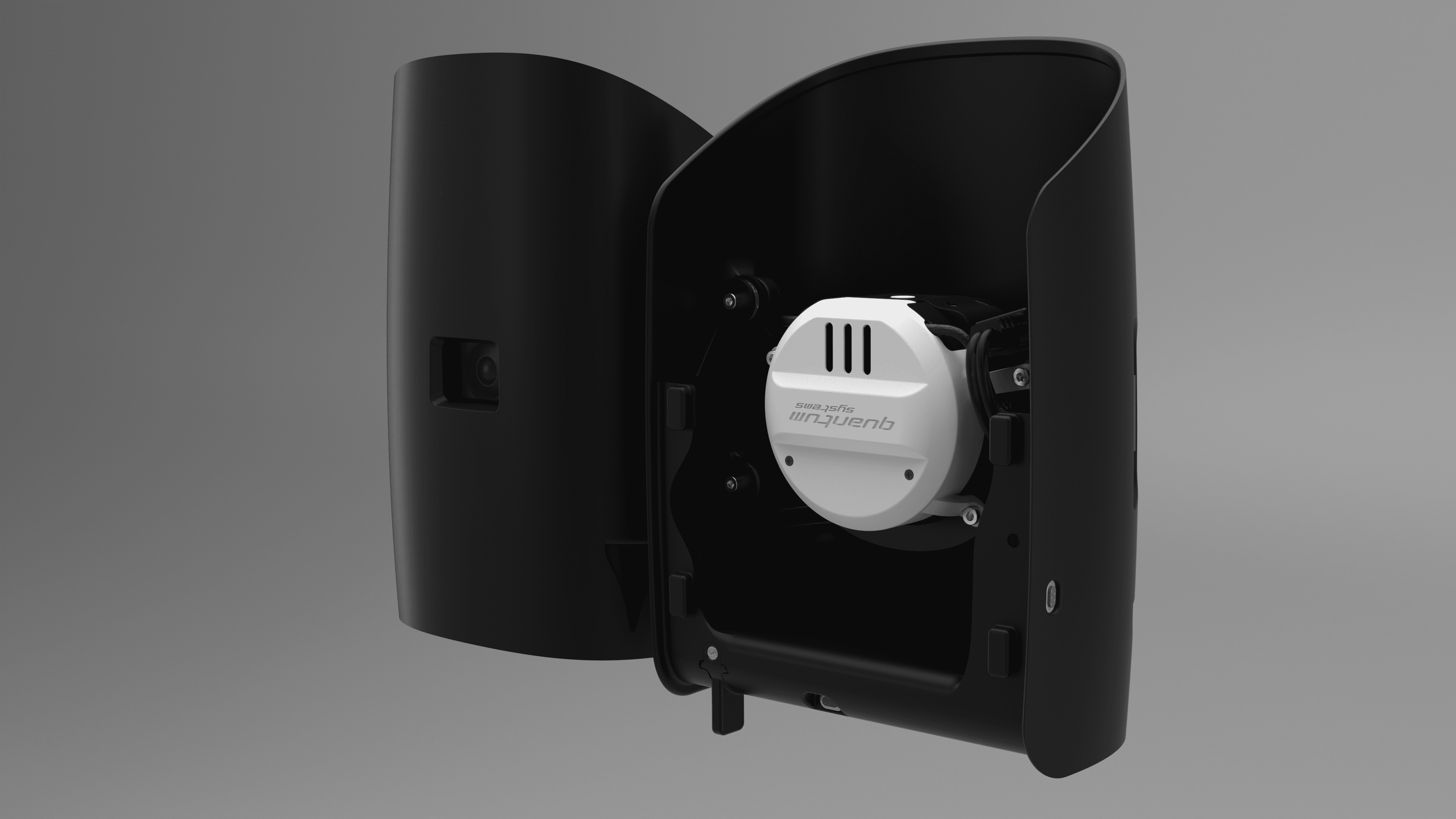
Drone-based LiDAR Technology
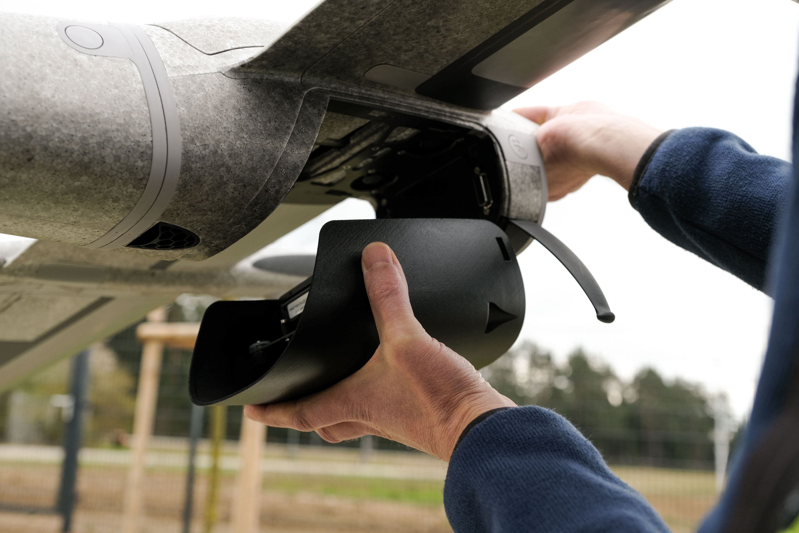
Trinity Pro comes with the largest range of sensors in the industry, which are simply "plug & play". The Qube 240 LiDAR scanner was introduced in 2021 has been transformative for the industry. The Qube 240 produces survey grade results, weighs only 930 grams, and can be easily mounted on the Trinity Pro.
3
IP 55 Rating
Users benefit from the IP 55 rating when operating in challenging environments. It is broadening the application capabilities while reducing risk to the unit.
3
Real Corridor Mapping
The QBase 3D software has been extended with additional features including the ability to take-off and land in different locations (A/B missions). This is finally enabling true corridor mapping and paving the way to BVLOS flights.
100
km
Linear Coverage
700
ha
Area Coverage
1.29
cm
GSD @100 m AGL
90
min
Flight Time
Technical Data
Max. Take-Off Weight
5.75kg
Max. Flight Time
90 minutes subject to export regulation
Max Area Coverage
100km/700 ha
Max. Flight Altitude (MSL)
5,500m (18,045 ft)
Command and Control Range
5 – 7.5 km (3.1 – 4.7 mi)
Optimal Cruise Speed
17 m/s (33 kn)
Wind Tolerance Hover
Up to 11 m/s (21.4 kn)
Wind Tolerance (cruise)
18 m/s (35 kn)
Operating Temperature Range
-12° C to +50° C (10.4° F to 122° F)
Wingspan
2.394 m (7.85 ft)
Transport Case Dimensions
100.2 x 83 x 27 cm (39.4 x 32.7 x 10.6 inch)
Transport Case Weight
22.3 kg (49.1 lbs), incl. three batteries
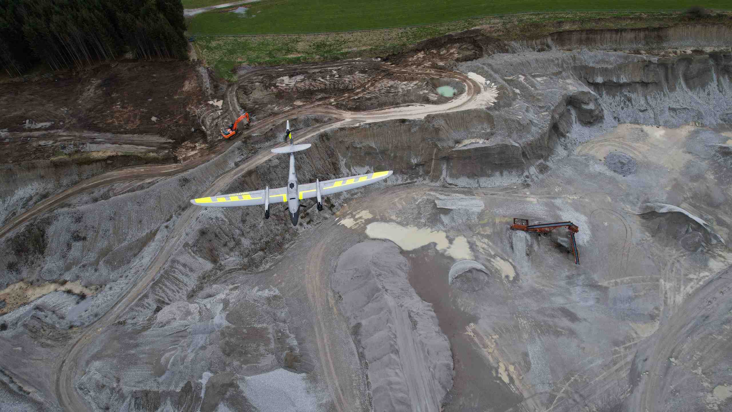
Applications for the Trinity Pro

The Trinity Pro in real world applications.


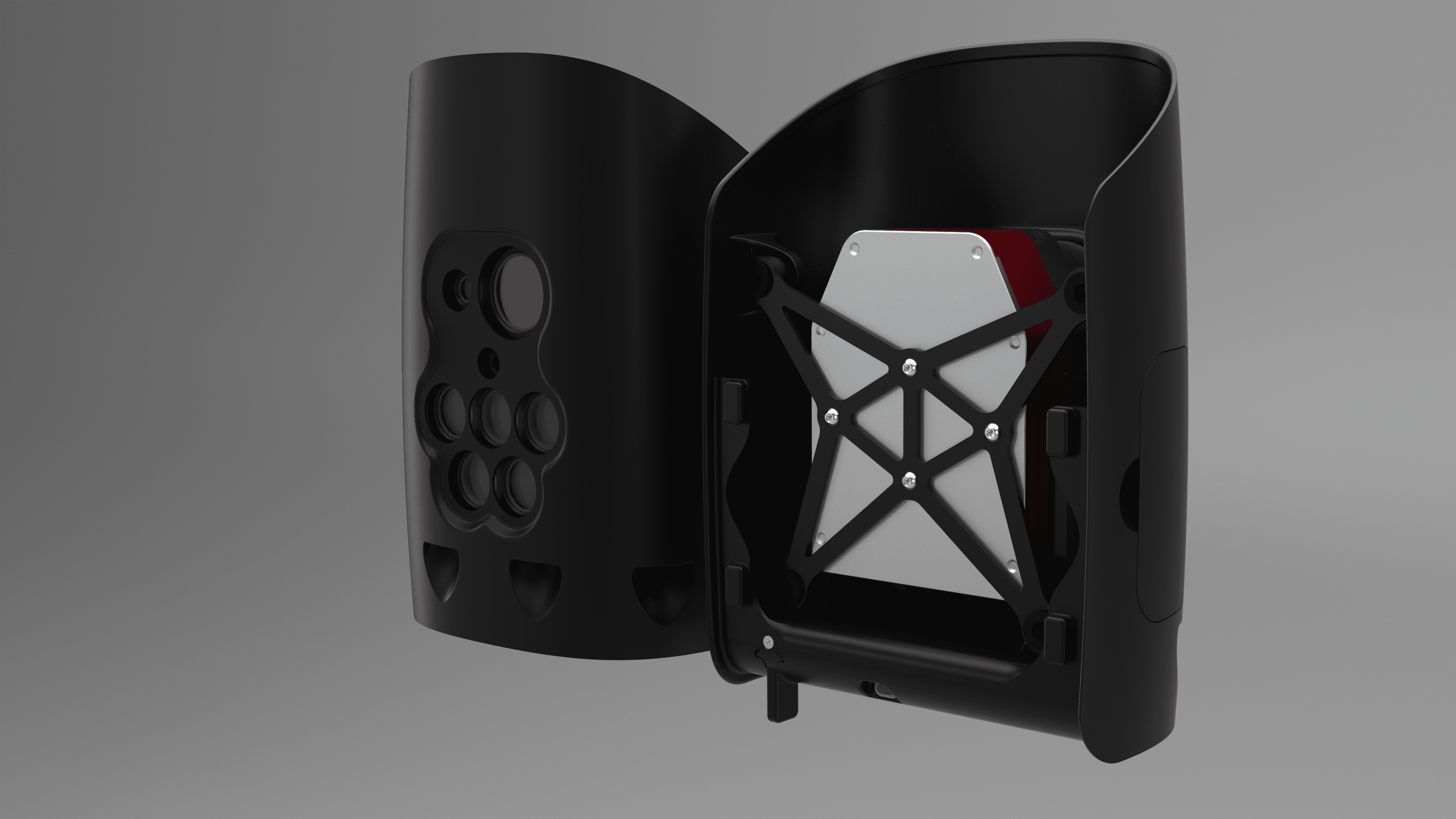
Cameras
Camera payloads for the Trinity Pro


Related Drones

Transform your business with accurate and actionable insights
Schedule A Demo