GEOSPATIAL INTELLIGENCE TECHNOLOGY Products
run your own geospatiaL team with high-precision DATA
Save cost by operating your own geospatial data team with Industrial Drones, Mobile Mapping Solutions, Cameras and Sensors.
Industrial Drones

For specific use and applications.
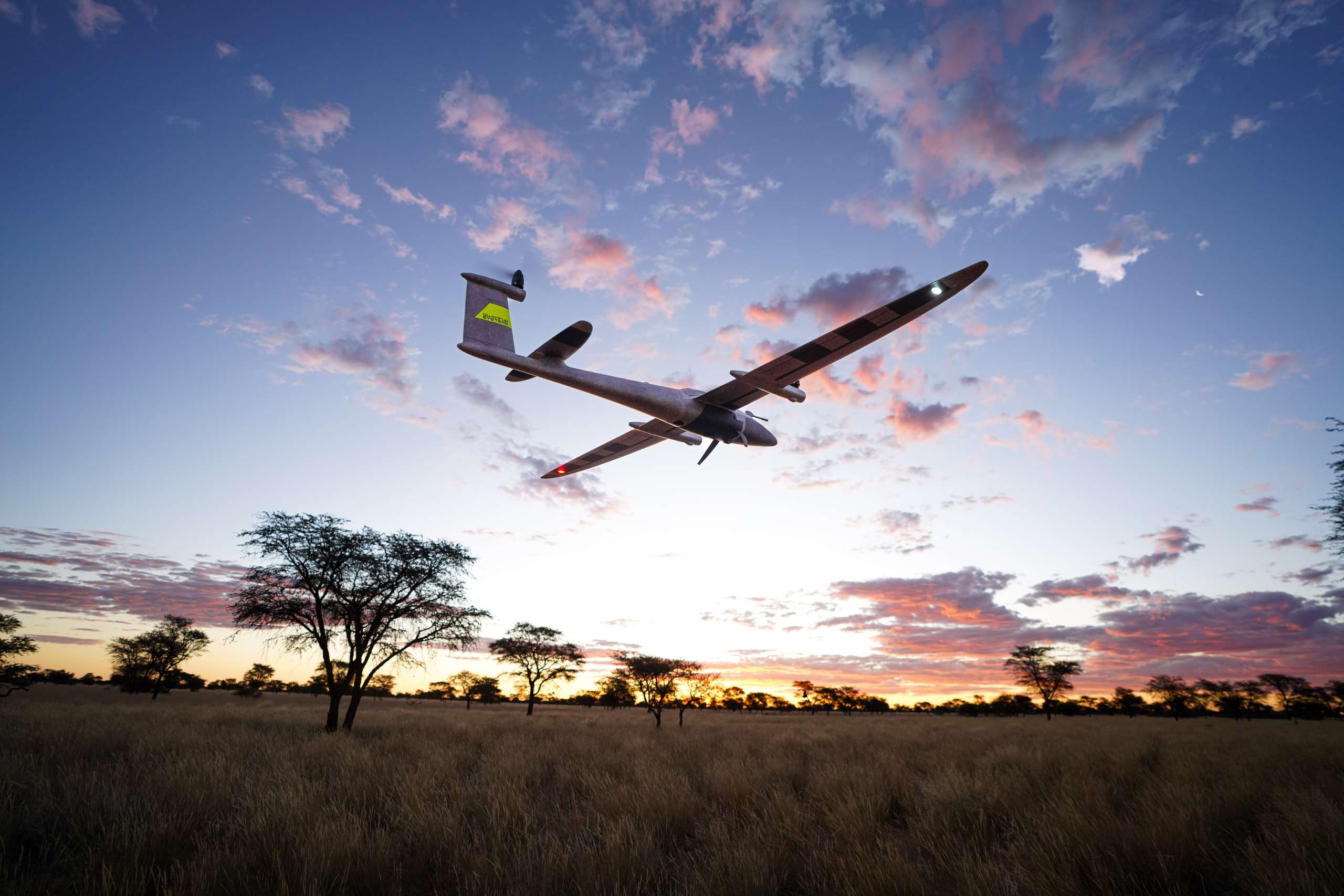
Trinity PRO
Next-Generation eVTOL Fixed-Wing mapping drone. Designed to evolve and ready for tomorrow: A future-proof, reliable and easy to use mapping solution.
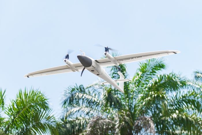
Trinity f90+
An unbeatable mapping tool for professionals. A VTOL fixed-wing UAV used to survey large areas with longer flying time and mountable cameras and sensors.

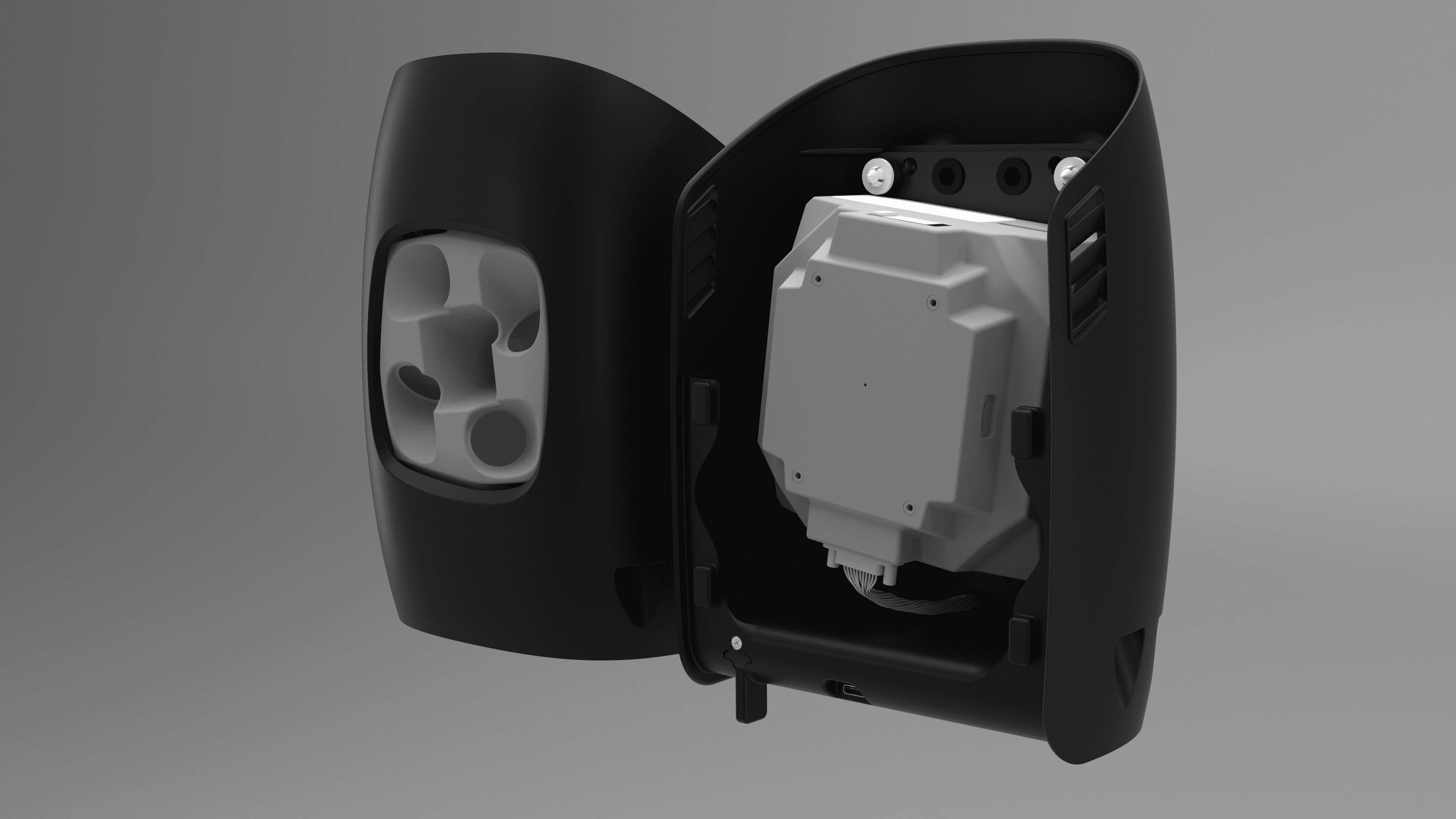
2-in-1 vector & scorpion
The ultimate 2-in-1 ISR system. Specially designed for security & surveillance for tight and wide spaces.
Mobile Mapping Solutions
Capture ground level data using cameras and sensors that are mountable on vehicles or worn using a special backpack.
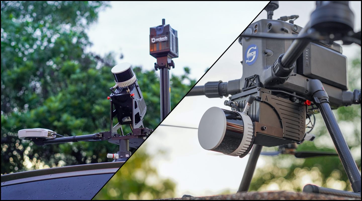
SCANFLY
Italian design, used to survey large areas with longer flying time and mountable cameras and sensors.
Learn More About Scanfly SolutionsCameras
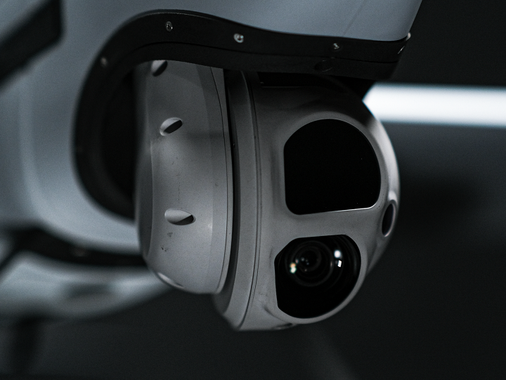
Camera payloads for Trinity Pro

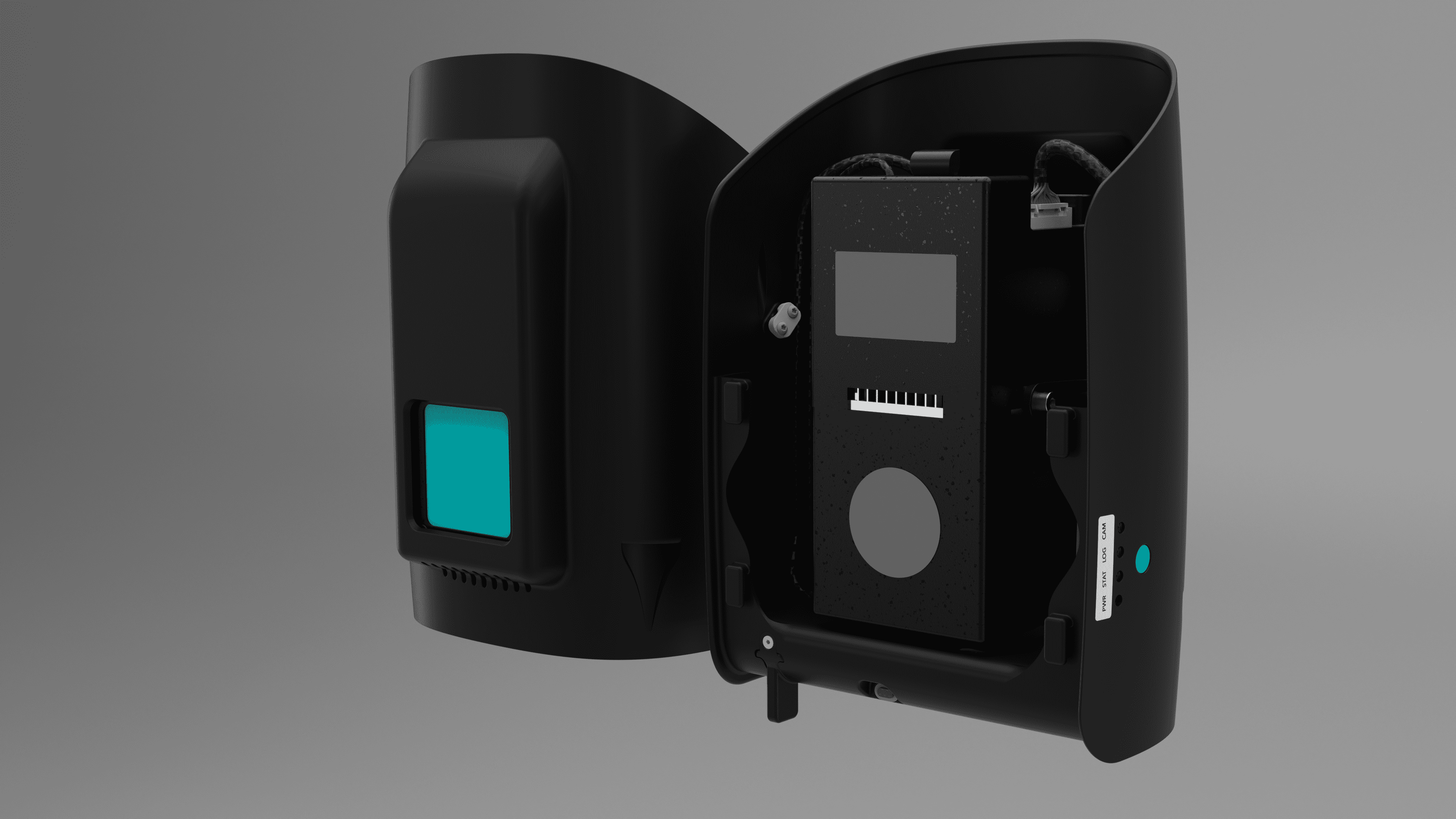
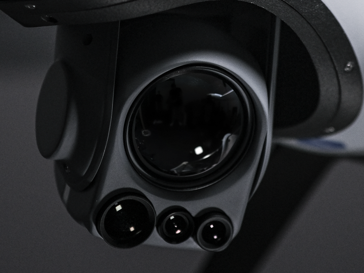
Sensors
Sensor payloads for the Vector & Scorpion
Transform your business with accurate and actionable insights
Schedule A Demo