Scanfly
Lightweight and ultra-compact solutions for 3D LiDAR Mapping
3DT – Scanfly is a powerful multi-platform LiDAR system for accurate 3D mapping, ideal for professionals and researchers in various industries.
Vehicle
Scanfly can be mounted on any vehicle: on motor vehicles, on boats, on an ATV.
Backpack
All Scanfly models can be mounted on a special backpack.
UAV
Scanfly can be easily installed on most UAVs available in the market
SCANFLY LiDAR SCANNERS


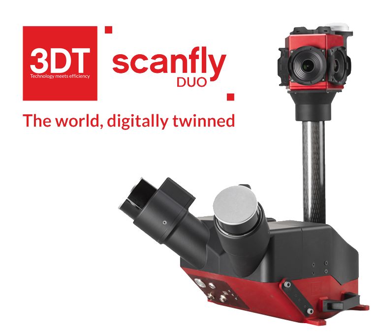
Scanfly DUO
Designed to be operated in the field by a single operator, Scanfly DUO is the ideal tool for digitizing metropolitan areas and infrastructure assets.
Scan Rate
Up to 2 560 000 pts/sec
Weight
20 kg
Range
up to 130 m

Scanfly Lite X
The entry-level, cost-effective lightweight solution for 3D Lidar scanning. Perfect for UAV mount. Recommended AGL up to 85 m.
Scan Rate
Up to 640,000 points/sec
Weight
1.68 kg
Range
up to 130 m

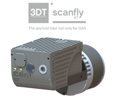
Scanfly XT
Increase the longitudinal resolution at higher speed. A perfect fit for land vehicle installation. Recommended AGL up to 85 m.
Scan Rate
Up to 1,2800,000 points/sec
Weight
1.68 kg
Range
up to 130 m

Scanfly Ultra X
Triple return and up to 300m range in the most accurate Scanfly evolution. Recommended AGL up to 180 m
Scan Rate
Up to 1,920,000 points/sec
Weight
1.48 kg
Range
up to 300 m
Scanfly Software


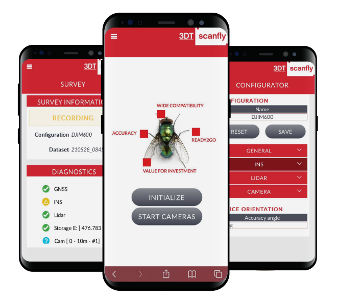
Scanfly Web App
Web App is the Scanfly integrated application software. Running on a web server, it enables full control and monitoring of the Scanfly operations at your fingertips.
Key Benefits
Advanced graphical interface
Monitor the status of all the integrated subsystems (GNSS/IMU/Lidar/Cameras)
Easy configuration with dedicated presets
Full control of the data acquisition
Quality check at the end of the surveys
Applications

What can you do with Scanfly?
Topography
Digital Mapping
Precision farming
Forestry Survey
Road Cadaster
Monitoring
Tactical Survey
Asset Management
Virtual Tour
3D Reconstruction
Coast Survey
Building Mapping
Transform your business with accurate and actionable insights
Schedule A Demo
