SELGEM Sdn Bhd
Disaster Response – Landslide Mapping
-
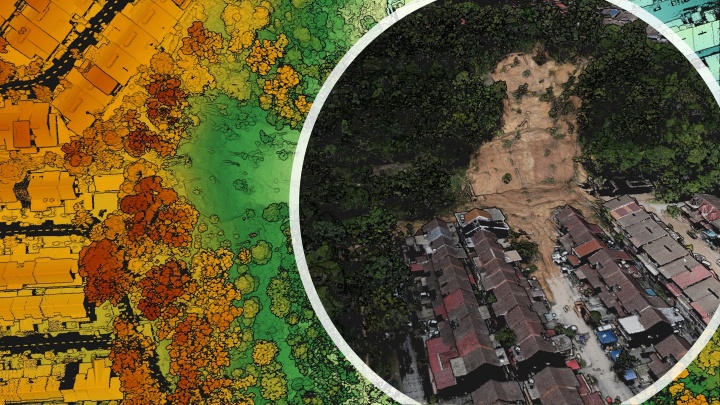
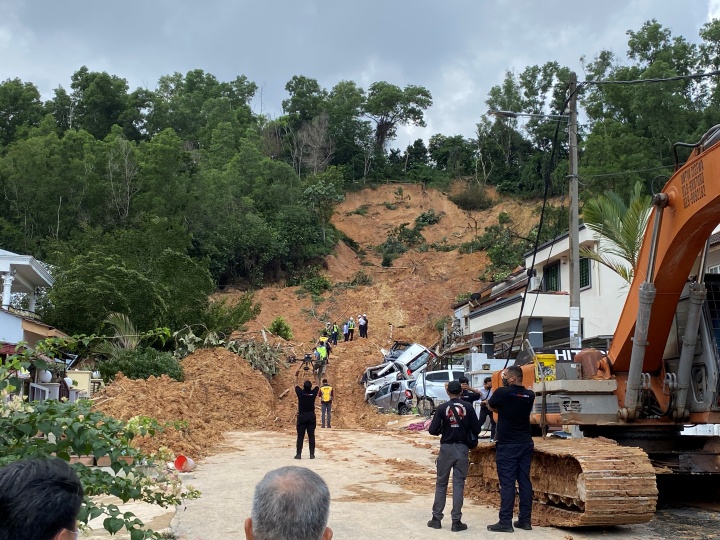
Ampang Jaya, Hulu Langat, Selangor, Malaysia
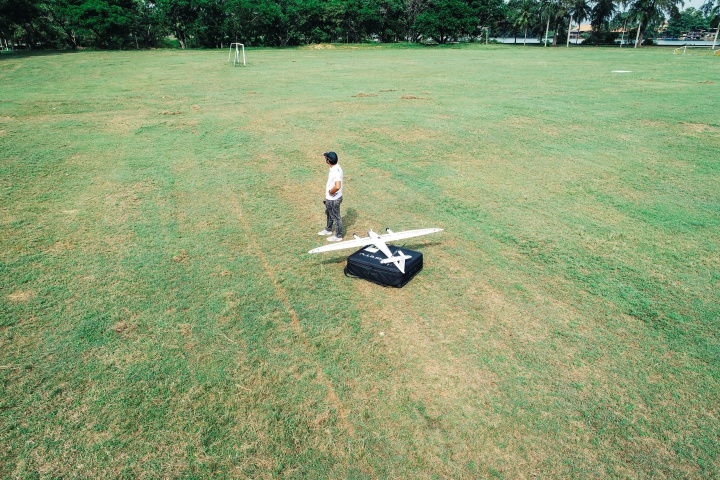
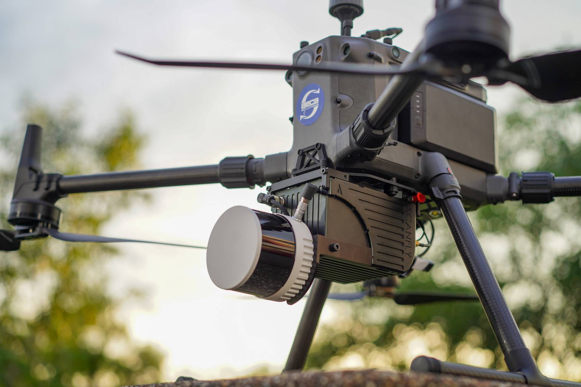
In order to pinpoint the likely cause and the region that was affected by the landslide, our Qube240 system was deployed for the UAV LiDAR mapping. The rescue crew exploited the data to carry out their Search and Rescue (SAR) mission. The data was also necessary to determine the probability of another landslide occurring within the region. This information was used by the stakeholders to manage expenses and resources for recovery process.
| UAV Type | Trinity F90+ |
| Flight Altitude | 90 m AGL |
| Flight Time | 5 min |
| Mission size | 10 Ha / 0.1 sq km |
| Temperature | 30 degrees Celsius |
| Payload | Qube240 LiDAR System |
| Point Density | 104 pts/sqm |
| Overlap | Side 50% |
Transform your business with accurate and actionable insights
Schedule A Demo