About AECA
Actionable data for maximum efficiency
AECA Solutions is a Geospatial Intelligence Technology Company using Drones, Mobile and IoT to capture Geospatial Data to help businesses and organisations make informed business decisions.
We help organisations capture, process and analyse geospatial data so they can make informed decisions
Using the latest drones, sensors and IoT to capture data to ensure maximum accuracy is achieved consistently.
Clients


About AECA
AECA Solutions is a Geospatial Intelligence Specialist in Malaysia, serving the Southeast Asian region including Singapore, Brunei, Indonesia, Thailand, Cambodia, Vietnam, Laos, Myanmar and the Philippines.
Geospatial Intelligence is the business of acquiring and analysing spatial imagery and information to help users and business owners like you learn about your operations and whether or not they are effective.
Combining the latest engineering in drone, survey-grade sensor and software technologies, AECA helps you extend your reach, enabling you to observe areas further than the eye can see.
We empower autonomous decision-making, guided by accurate, meaningful and useful information gathering and analysis.
WHY US
Managing areas of concern requires monitoring the factors that contribute to its success, failure or effectiveness.
Monitoring on the other hand, requires you to ‘see’ the areas of concern and detect issues before appropriate action can be taken.
Monitoring on the other hand, requires you to ‘see’ the areas of concern and detect issues before appropriate action can be taken.
A better vision provides you better insights of what is required to improve your business further.
This is where we help you see clearer, with our fleet of advanced drones, aerial systems and geospatial solutions.
Our greatest value proposition is our team of skilled engineers and responsive individuals representing our commitment to producing outputs that are not only superior, but also reliable.
Our results are the primary drivers of our business and they speak for themselves.
At AECA, we have what it takes to come up with a need-based solution that is right for you.
Visit our Applications page to find out which applications can benefit from geospatial information and analysis.


Meet OUr Team


Tengku Erina
Founder and CEO
Background: Information Technology & Business

Ariffin Aris
COO
Background: Computer Science
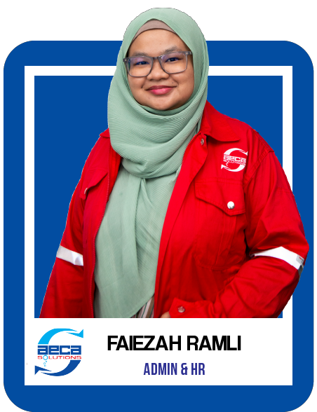


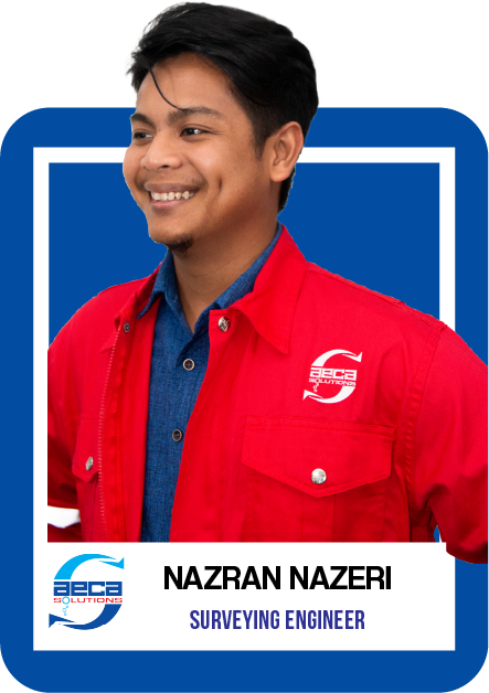


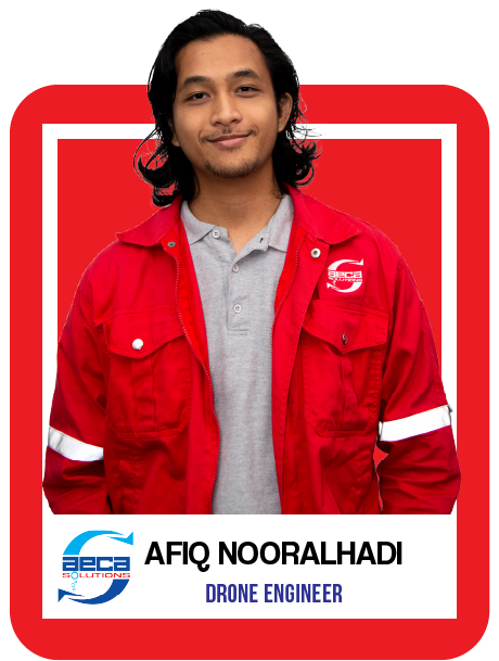


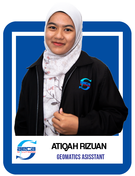

JOIN US
Transform your business with accurate and actionable insights
Schedule A Demo


